Our day on Annupuri
Photographed 30 September
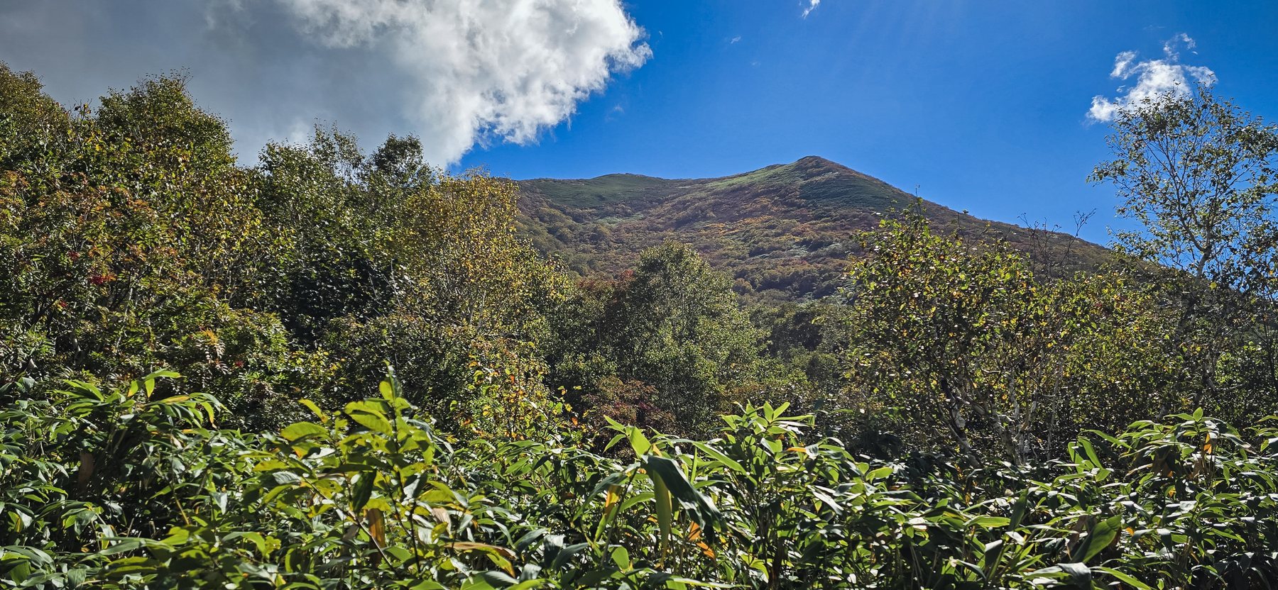
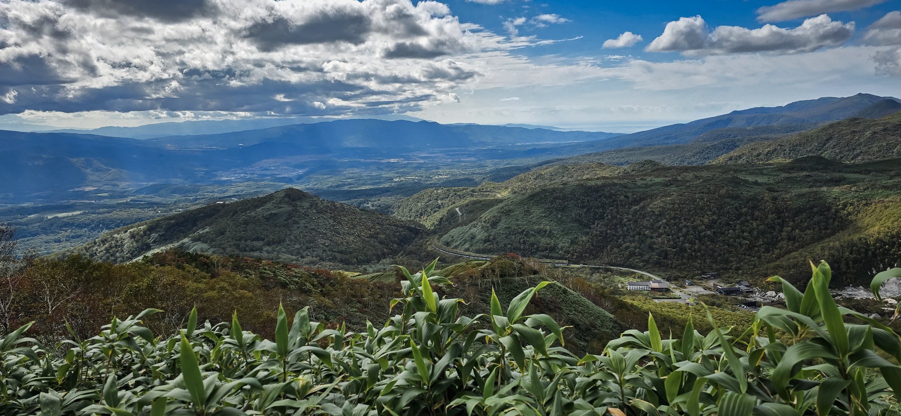
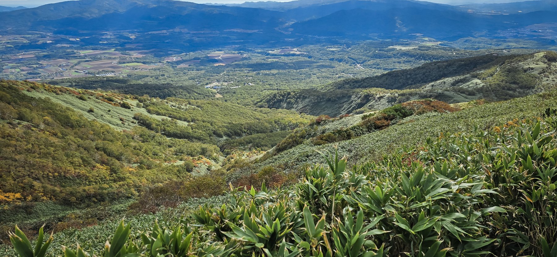
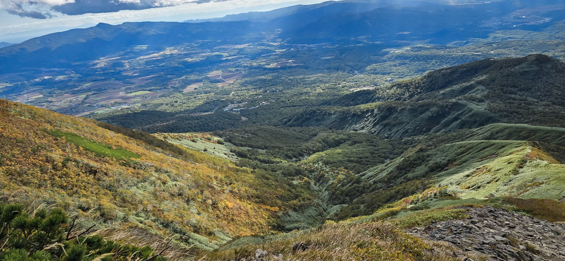
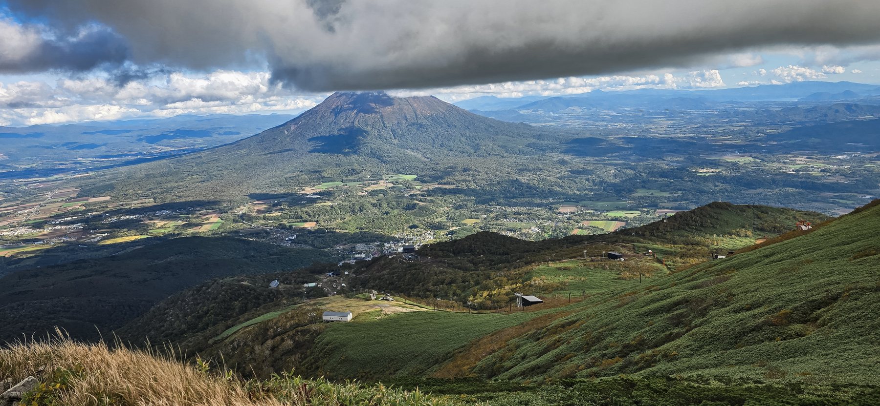
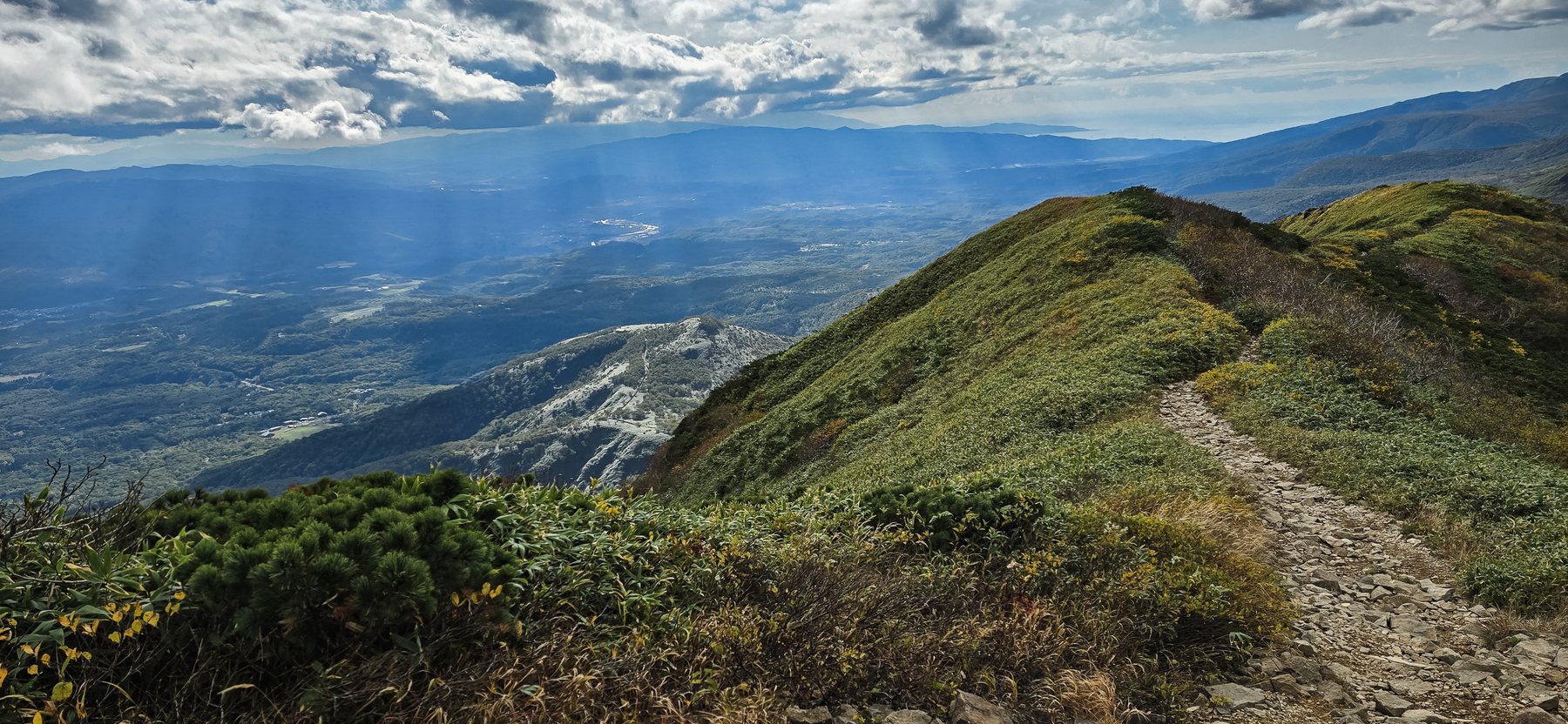
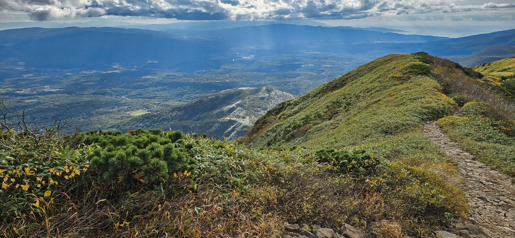
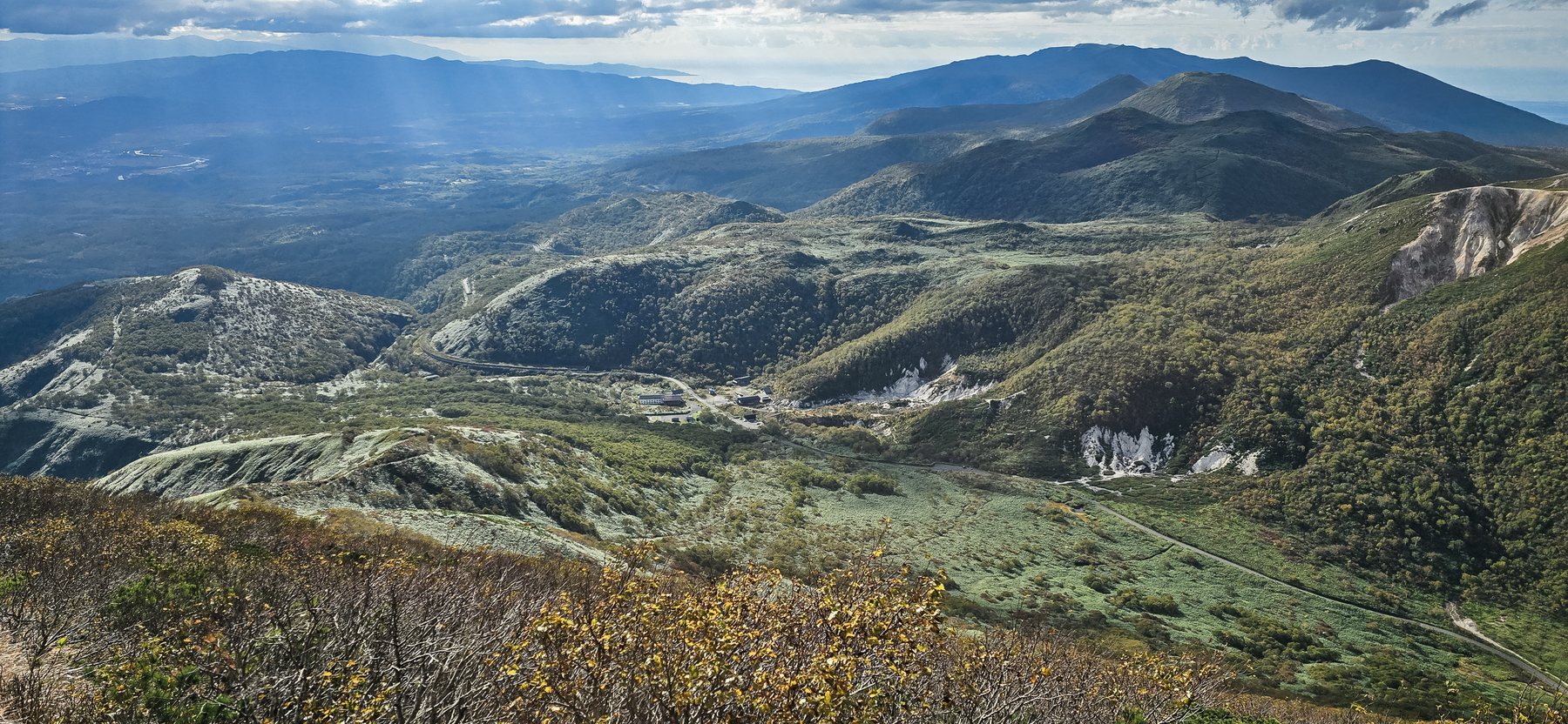
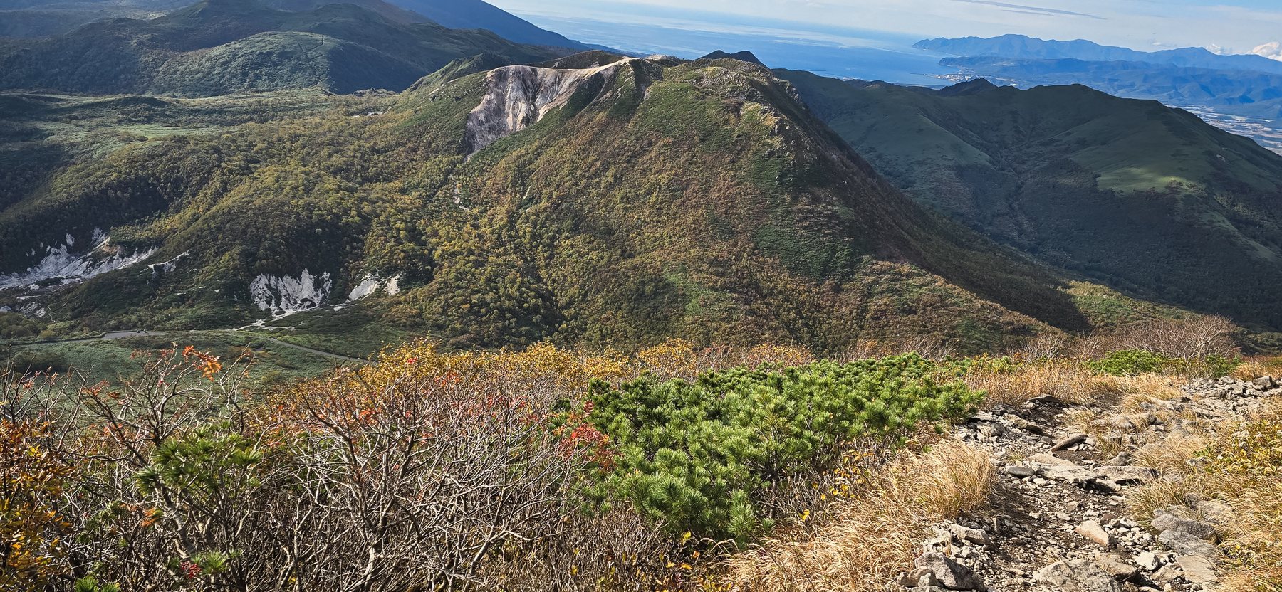
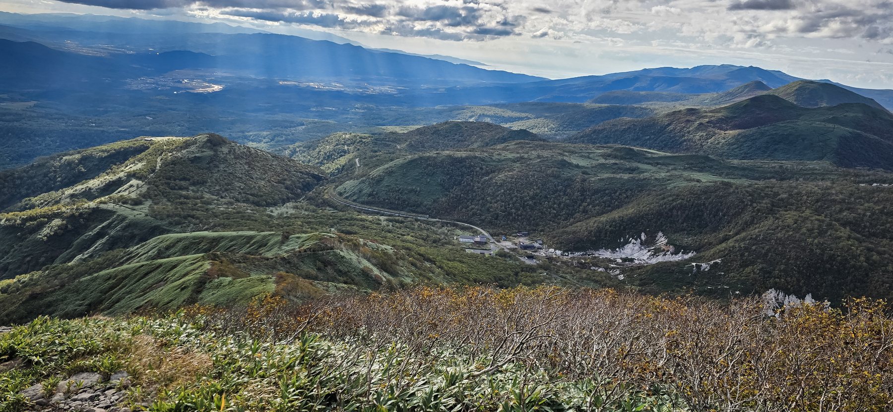
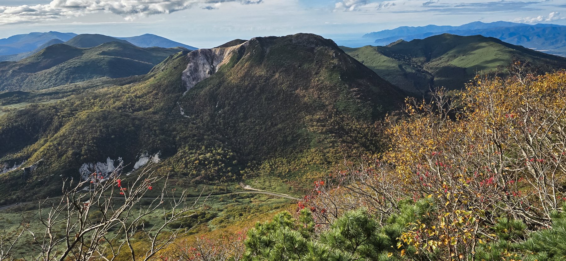
The mountain the world knows for powder is quiet in autumn: red slopes, an open ridge, and Mt. Yotei across the valley.
Niseko Annupuri is the main peak of the Niseko Range, about two hours by road from Sapporo. In winter its slopes are one of the best-known ski areas in the world. From June to October the same mountain is a hiking trail, and almost no visitors from abroad know it.
We climbed to the 1,308 m summit on 30 September. The dwarf bamboo was still green, the grass and shrubs around it had turned red and gold, and from the top Mt. Yotei stood directly in front of us. Every photo and video on this page is our own, taken that day.
The highest point of the Niseko Range. The summit is open, with a small emergency hut and a view in every direction.
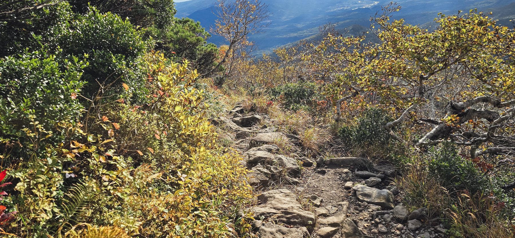
A steady climb on a rocky path. The most-used trails start from Goshiki Onsen and from the ski-area side. Allow about an hour and a half to come down.
From the top, the 1,898 m cone of Mt. Yotei fills the eastern view, with Niseko's farmland spread out below.
This is when the slopes turn colour. The trail is usually free of snow from June; snow returns in late October.
The Niseko Range is volcanic, and hot springs rise at its feet. A soak after the descent is part of the day.
There is no water on the trail and no shade on the ridge. It is windy at the top even on a calm day.
It is a real hike, not a stroll: about two hours of steady uphill on rocks. Anyone who walks regularly and has proper shoes can do it.
Yes. It is about two hours each way by road. Leave Sapporo in the morning and you are back by evening.
Not at present. This page is our own record of a place we know. Our planned tours bring guests to Niseko's viewpoints, farmland and hot springs; mountain climbs need proper mountain guiding, which we do not offer.
The trail is clear in good weather but exposed to wind, and cloud can cover the ridge quickly. Brown bears live in these hills. Check the forecast, carry a bell, and start early enough to be down before dusk.
Tell us what you dream of — a season, a landscape, a pace. We'll design around it and reply within 48 hours.
hello@yukizuru-hokkaido.com