Know Hokkaido.

Japan's northern island, explained by a local: its regions, its food, its first people, and what to know before you go.

A land bigger than it looks

Hokkaido at a glance

Hokkaido covers about 83,000 km² — roughly a fifth of Japan, and about the size of Austria — yet only around five million people live here, nearly two million of them in Sapporo. Outside the cities, the island opens into farmland, volcanoes, marshes and long empty coastlines.

It has four sharp seasons: deep powder snow in winter, wildflowers and cool air in summer, and some of Japan's earliest autumn colors.

Mountains we have walked: Asahidake →

The regions

Eight very different Hokkaidos
SAPPORO & OTARU

City and canal

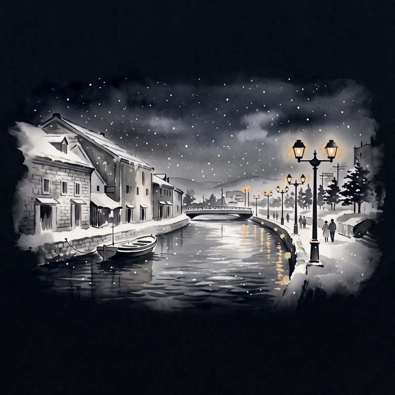
Hokkaido's capital, laid out on a grid in the 1870s, and the old herring and trading port of Otaru with its stone warehouses along the canal.
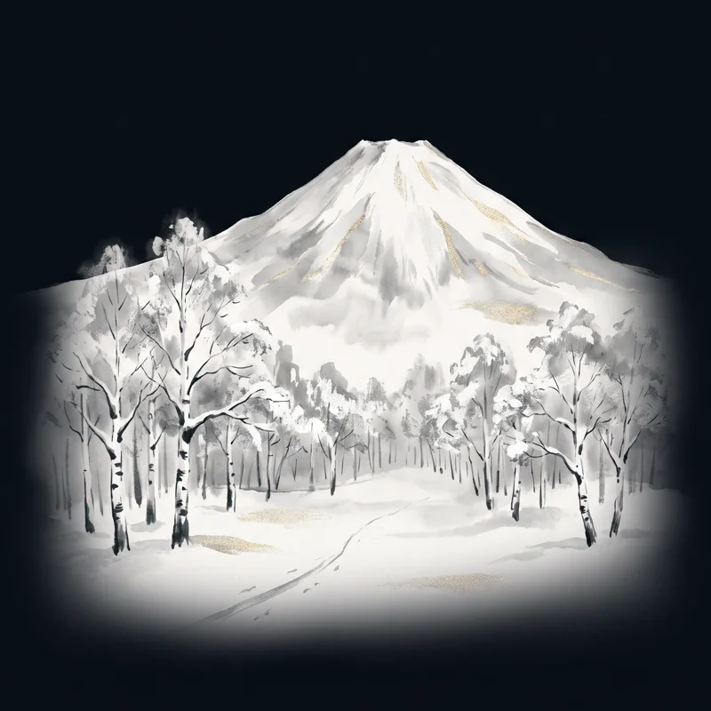
NISEKO

Powder country

Light, dry snow that skiers travel across the world for, under the cone of Mt. Yotei. Green, quiet and good for hiking in summer.

→
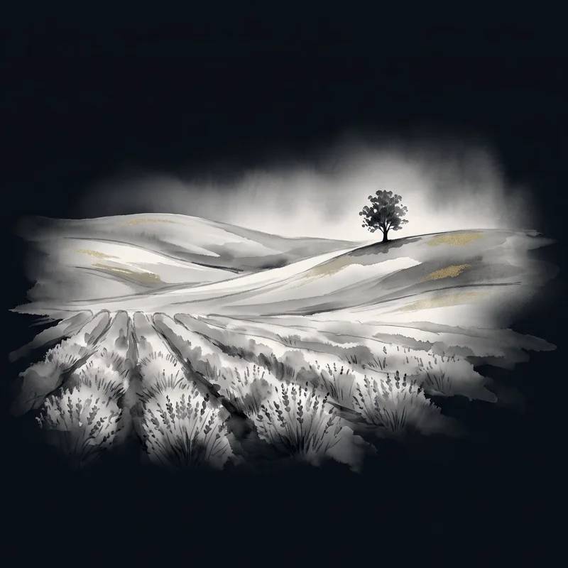
FURANO & BIEI

Hills and fields

Rolling farmland, lavender in July, and the Blue Pond. The landscapes most people picture when they think of Hokkaido.
ASAHIKAWA

The heart of Hokkaido

Hokkaido's second-largest city, in the middle of the island. Asahiyama Zoo, rich soy-sauce ramen, and the gateway to Daisetsuzan, Biei and Furano.
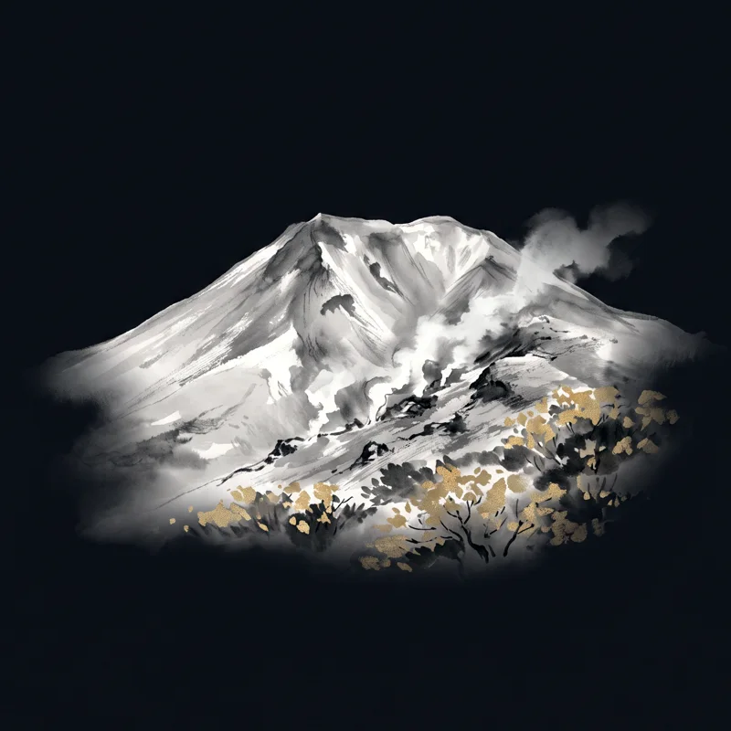
DAISETSUZAN

The high mountains

Hokkaido's highest peaks and Japan's largest national park, where the first snow falls and the first autumn colors appear.

→
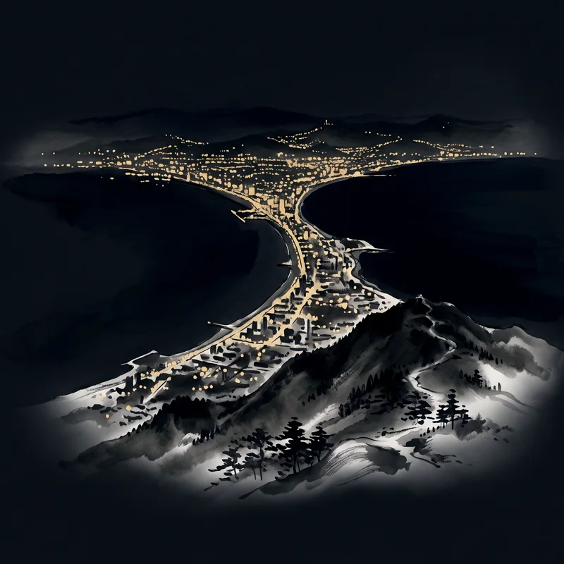
HAKODATE & THE SOUTH

The old gateway

One of the first ports Japan opened to the world, in 1859. Western churches, a star-shaped fort, and a famous night view.
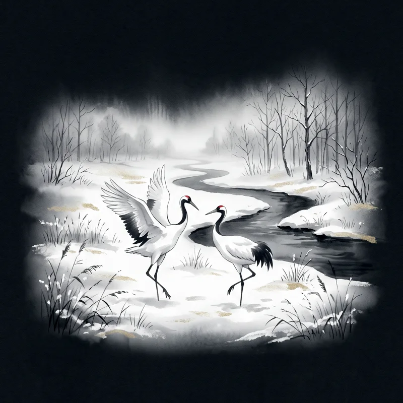
THE EAST

Wild Hokkaido

Shiretoko, a UNESCO World Heritage peninsula; the Kushiro wetlands where red-crowned cranes live, caldera lakes at Akan and Mashu, and Nemuro at Japan's eastern edge.

→
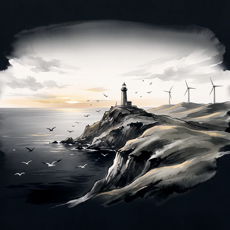
THE NORTH

Japan's far north

Wakkanai and the windswept Soya Hills, cattle grazing to the horizon, and on clear days a view of Sakhalin across the sea.

→
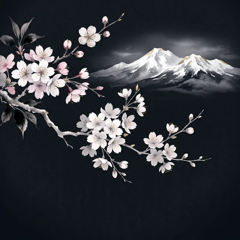
When to go

Four seasons, four different Hokkaidos
SPRING

Late blossoms

Cherry blossoms come later than in Tokyo — in Sapporo usually around early May — while snow still caps the mountains.

SUMMER

Cool and green

Dry, comfortable days and long evening light. Lavender in Furano in July, and the mountain trails open.

AUTUMN

Japan's first colors

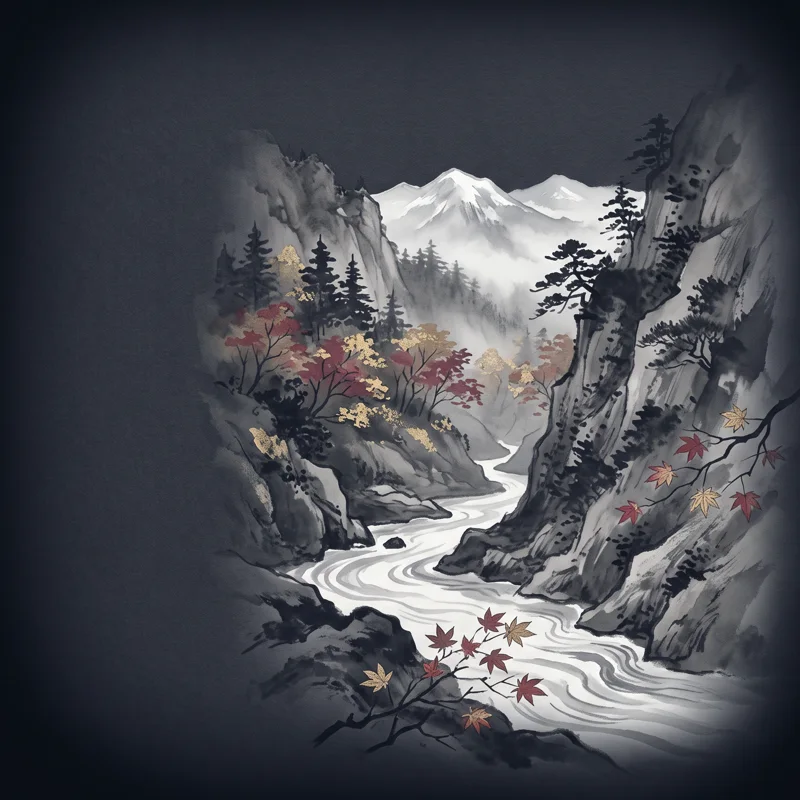
The autumn colors start on the Daisetsuzan peaks, then move down into the valleys and onsen towns.

WINTER

Snow country

Light, dry powder snow, the Sapporo Snow Festival, and red-crowned cranes in the eastern marshes.

Hot springs

Every area has its own water

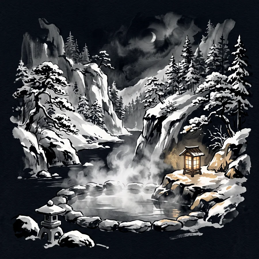
Hokkaido sits on a chain of active volcanoes, and its hot springs pick up different minerals from the rock and gas they pass through. That is why the water changes from one onsen town to the next: milky and smelling of sulfur near the volcanoes, clear and slightly salty in the valleys, amber where the water rises through ancient plant layers.

Even within one area, each inn may draw from its own spring. The official analysis of the water is posted beside the bath, so you can see exactly what you are soaking in.

NOBORIBETSU

The onsen department store

Around nine types of water rise in one town, from sulfur to salt and iron springs, all fed by Jigokudani, the steaming 'Hell Valley'.

JOZANKEI

Sapporo's own onsen town

Clear, lightly salty sodium chloride water in a river gorge inside Sapporo city. Salt springs are known for keeping you warm after the bath.

→
YUNOKAWA

By the sea in Hakodate

One of Hokkaido's best-known onsen towns, about five minutes by car from Hakodate Airport. Clear, smooth water, close to the shore.

TOYAKO

On a caldera lake

Hotels line the shore of Lake Toya, a round caldera lake beside the active volcano Usu. The water is mainly a salt-type spring.

NISEKO

Many springs, many colors

Small onsen are scattered around the Niseko mountains, and the water differs from one to the next — milky sulfur springs among them.

SOUNKYO

In a gorge of cliffs

An onsen town deep in a canyon of sheer cliffs and waterfalls in Daisetsuzan. The water is mostly simple and sulfur springs.

TOKACHIGAWA

Moor water

Amber 'moor' water that rises through layers of ancient plants, rich in organic matter and soft on the skin. Chosen as a Hokkaido Heritage.

KAWAYU

Strongly acidic

Near the steaming Mt. Io in the east, some of Japan's most acidic water, around pH 1.7, with a strong smell of sulfur.

Why the food is so good

Sea, soil and cold water

Ask people in Japan where the best seafood is and many will say Hokkaido. The cold currents around the island make it the country's largest source of seafood: crab, sea urchin, scallops, salmon roe and kelp come from these waters.

Hokkaido also produces more than half of Japan's milk, along with potatoes, corn and melons. Try a seafood bowl at a morning market, miso ramen in Sapporo, soup curry, and soft-serve ice cream made from local milk.

Before you go

Seven things that surprise first-time visitors
01 · DISTANCE

Everything is farther than it looks

Sapporo to Shiretoko is about 400 km. Sapporo to Kushiro takes about four hours by limited express. A route that looks like a day on the map can take two.

02 · TRANSPORT

Trains and buses are sparse

Outside the cities, many places have a few buses a day or none at all. On foot or by public transport, getting between sights takes far longer than most visitors expect.

03 · WINTER ROADS

Snow and ice are serious

Packed snow, black ice and whiteouts make winter driving genuinely dangerous if you are not used to it. Every winter, visitors are caught out on roads that locals take slowly.

04 · DAYLIGHT

Winter days are short

In December the sun sets around 4 pm in Sapporo, and earlier in the east. Plans need to fit into fewer hours of light.

05 · WILDLIFE

This is bear and deer country

Brown bears live across much of the island, and deer cross roads at dusk. Don't touch or feed wild foxes — they can carry a parasite — and don't drink untreated stream water.

06 · WINTER TRAINS

Snow can stop the trains

In winter, heavy snow and strong winds regularly delay or cancel JR trains, sometimes for a whole day. Leave spare time, and never plan a tight connection to a flight.

07 · OUTSIDE SAPPORO

The countryside closes early

Beyond Sapporo, most of Hokkaido is countryside. Restaurants and shops close early in the evening, many have days off, and towns, gas stations and convenience stores can be far apart.

Why a local guide helps

Our approach

None of this should keep you away. It is why we plan every day around real travel times, the season and the light: which roads are safe that week, where the last train leaves from, which viewpoint is worth the detour and which is not.

We guide, plan and arrange licensed transport where it is needed, so you can spend the day looking out of the window instead of at a timetable.

See how our private days work →

The Ainu, Hokkaido's first people

History before the cities

Long before Hokkaido had its name, it was Ainu Mosir — "the land of people" — home to the Ainu, the indigenous people of this island. They lived by hunting, fishing and gathering, and saw spirits, kamuy, in animals, plants, fire and water.

In 2019 Japan passed a law recognizing the Ainu as an indigenous people. In 2020 Upopoy, the National Ainu Museum and Park, opened on Lake Poroto in Shiraoi. Akan also has an Ainu village (kotan) where dance, crafts and food are shared with visitors. We recommend both.

What the place names mean

Many of Hokkaido's names come from the Ainu language
SAT · PORO · PET

Sapporo 札幌

"Dry, great river" — one common explanation, from the river that once crossed the plain.

OTA · OR · NAY

Otaru 小樽

"River running through the sand."

NISEY · KO · AN · PET

Niseko ニセコ

"River that flows toward the cliffs."

HURA · NU · I

Furano 富良野

"Place with a smell" — from the sulfur of the Tokachi volcanoes.

PIYE

Biei 美瑛

"Oily" — the river runs cloudy with minerals from the mountains.

NUPUR · PET

Noboribetsu 登別

"Dark, cloudy river" — colored by the hot springs.

SIR · ETOK

Shiretoko 知床

"Where the land juts out" — often translated as "the end of the earth."

YAM · WAKKA · NAY

Wakkanai 稚内

"Stream of cold water."

KAMUY · MINTAR

Daisetsuzan 大雪山

"The playground of the gods" — the Ainu name for the high mountains.

A few Ainu words

Listen for them on the road

Place-name origins are told in more than one way; the meanings above are the most common explanations. Ainu is written here in the Latin spelling used by Ainu language materials.

KAMUY

Spirit, god

The beings in nature — the bear, the owl, fire, water — that the Ainu honor.

PET · NAY

River · stream

The reason so many Hokkaido names end in -betsu or -nai.

KOTAN

Village

As in Akan's Ainu Kotan.

SARORUN KAMUY

The red-crowned crane

"God of the reed marsh" — the bird in our name.

IYAIRAYKERE

Thank you

Said at Upopoy and in Ainu communities today.

A short history

From Ainu Mosir to Hokkaido
  1. Before 1800s — Ainu MosirThe Ainu live across Hokkaido, Sakhalin and the Kuril Islands, trading with peoples to the north and south.
  2. 1859 — Hakodate opensHakodate becomes one of the first Japanese ports opened to foreign trade.
  3. 1869 — The name "Hokkaido"The island is renamed and a development commission is set up. Sapporo is laid out as a planned city.
  4. 1878 — Sapporo Clock TowerBuilt as the drill hall of the Sapporo Agricultural College, it still keeps time today.
  5. 1923 — Otaru CanalThe canal is completed in the herring and trading port of Otaru.
  6. 1972 — Sapporo Winter OlympicsThe first Winter Olympics held in Asia.
  7. 1980 — Kushiro WetlandsJapan's largest wetland becomes the country's first Ramsar site.
  8. 2005 — ShiretokoThe peninsula is inscribed as a UNESCO World Natural Heritage site.
  9. 2019–2020 — Recognition and UpopoyThe Ainu are recognized in law as an indigenous people, and Upopoy opens in Shiraoi.

Plan your journey

Tell us what you dream of — a season, a landscape, a pace. We'll design around it and reply within 48 hours.

hello@yukizuru-hokkaido.com