What it looks like
Photographed 11–16 September
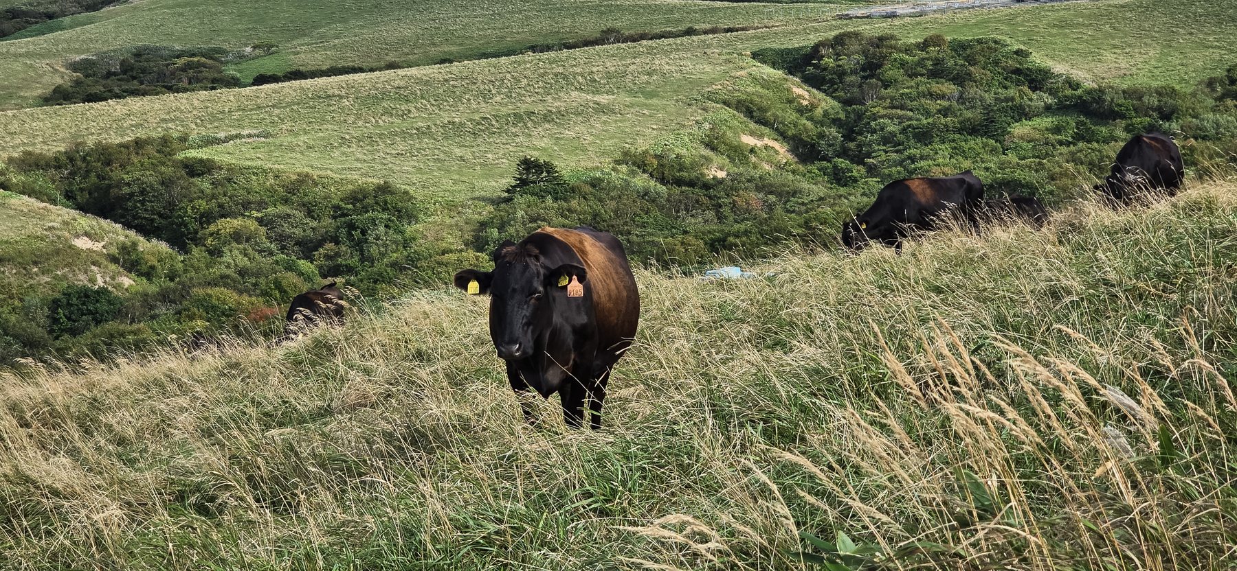
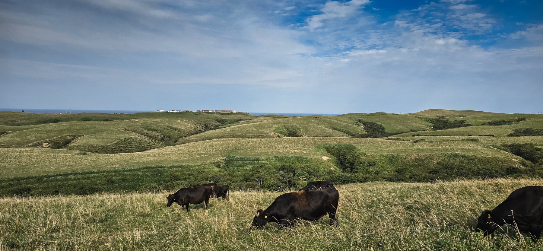
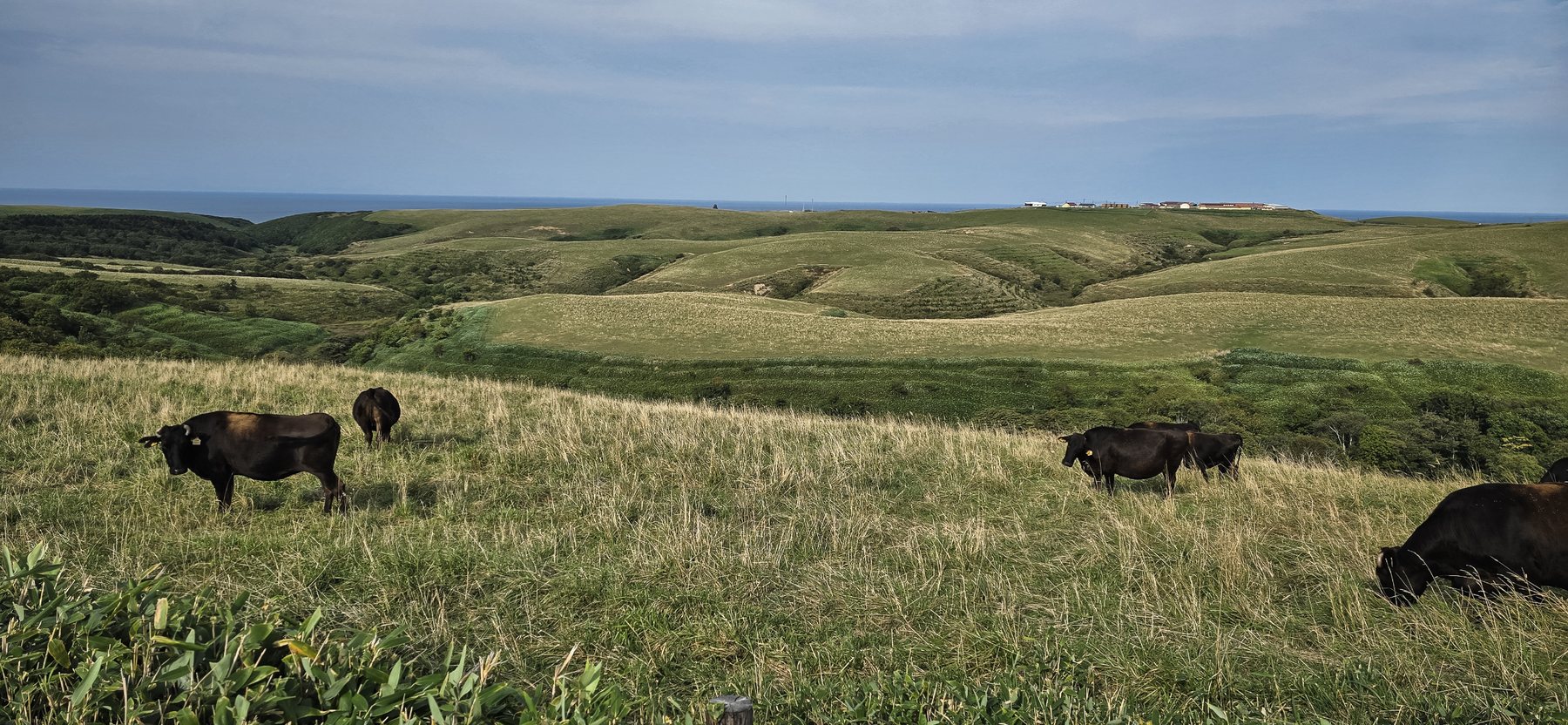
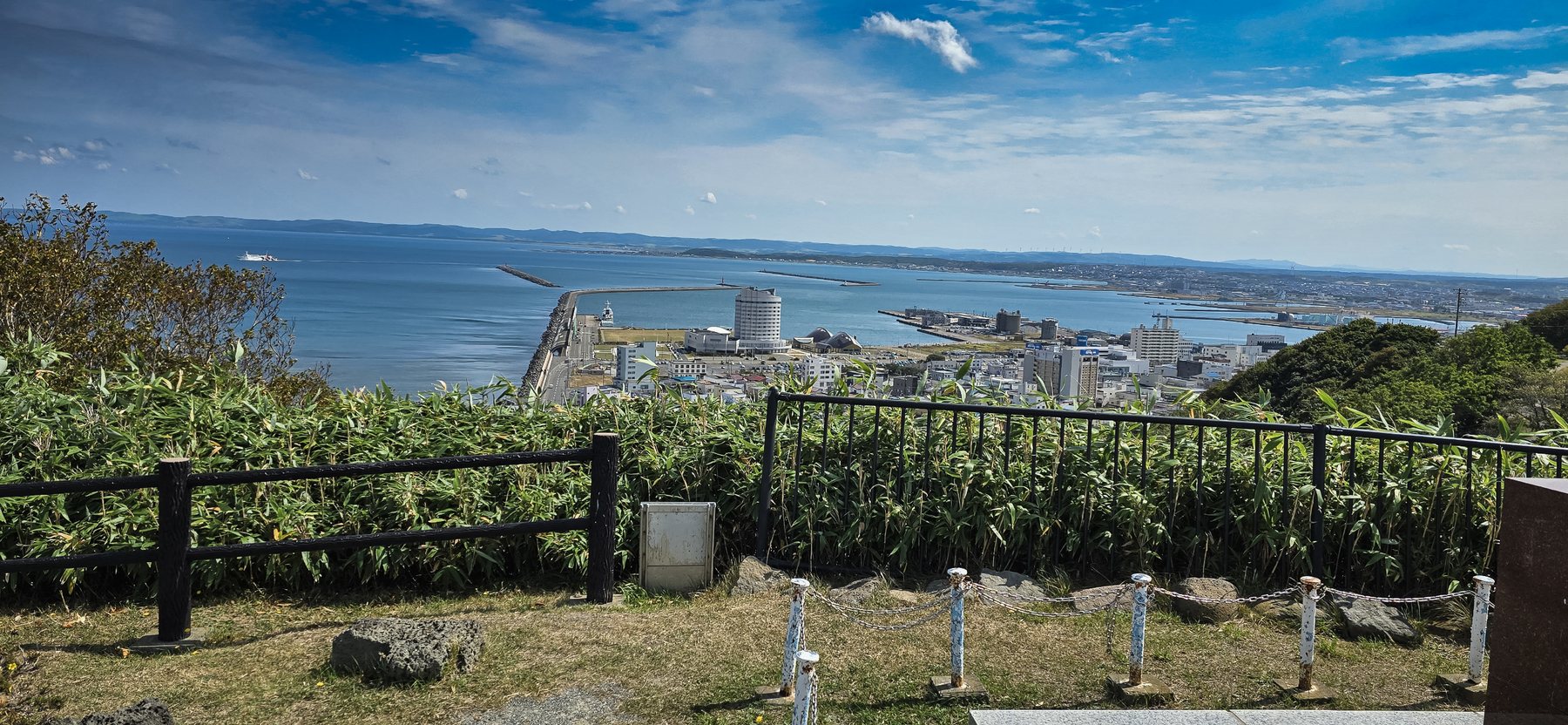
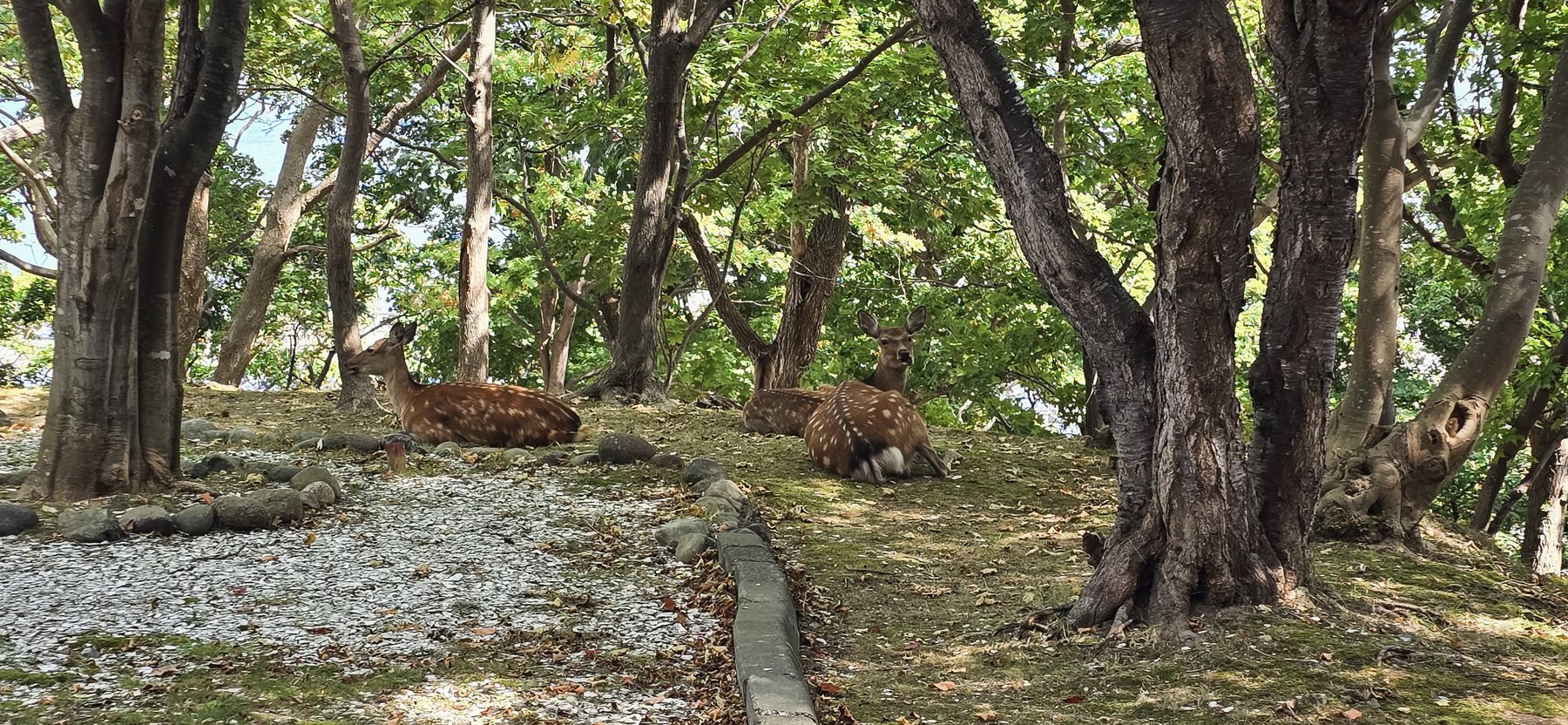
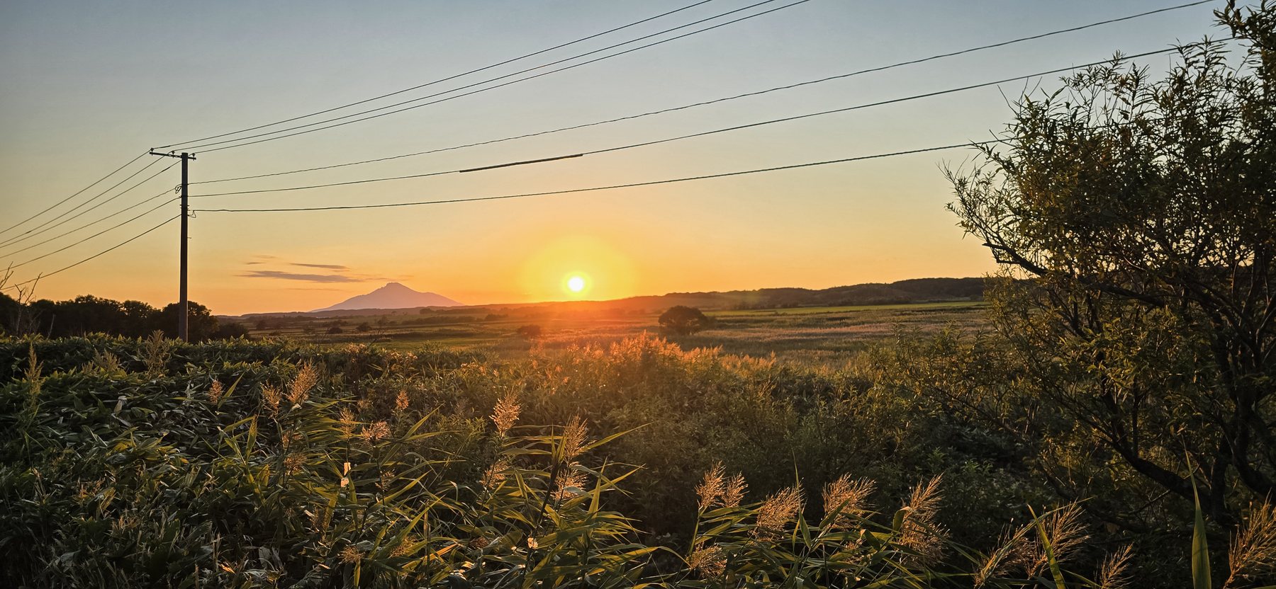
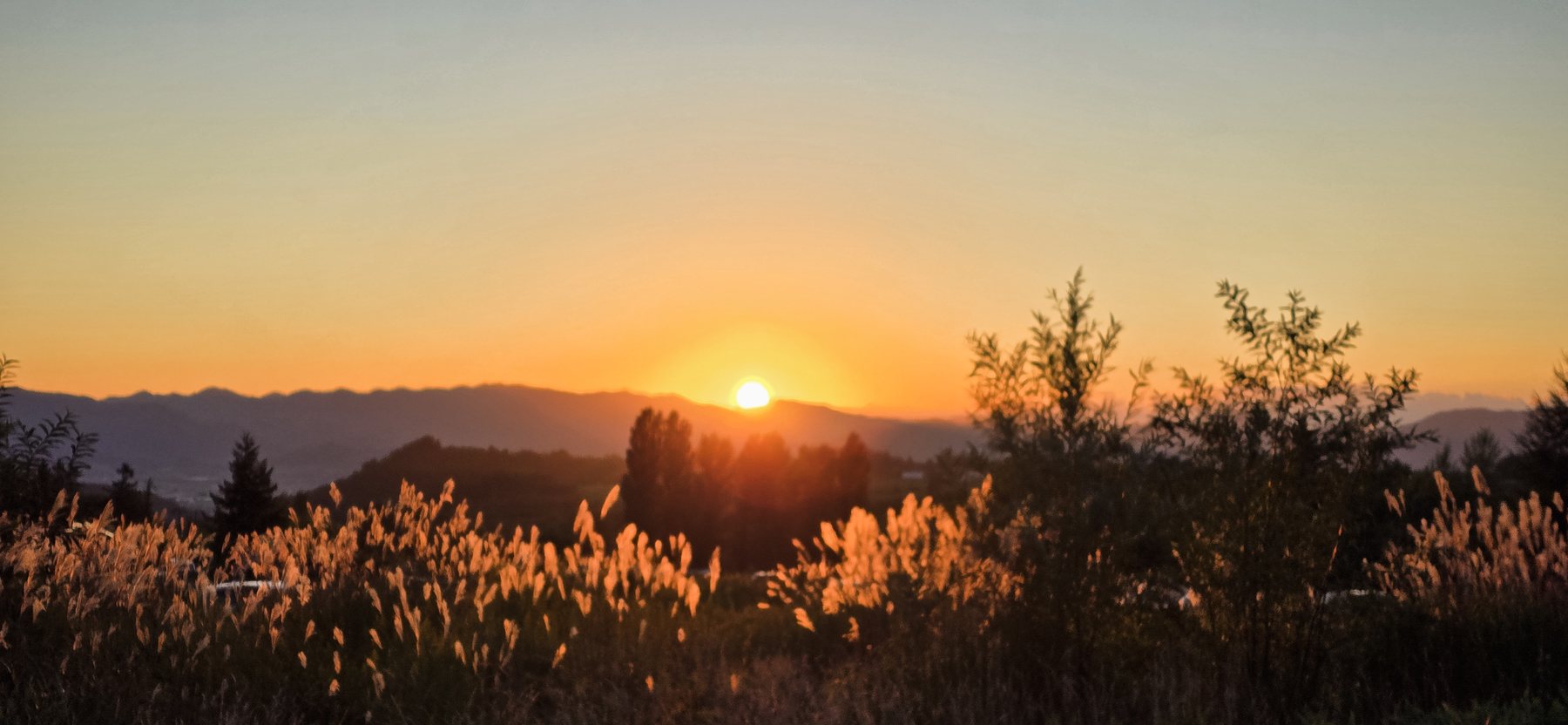
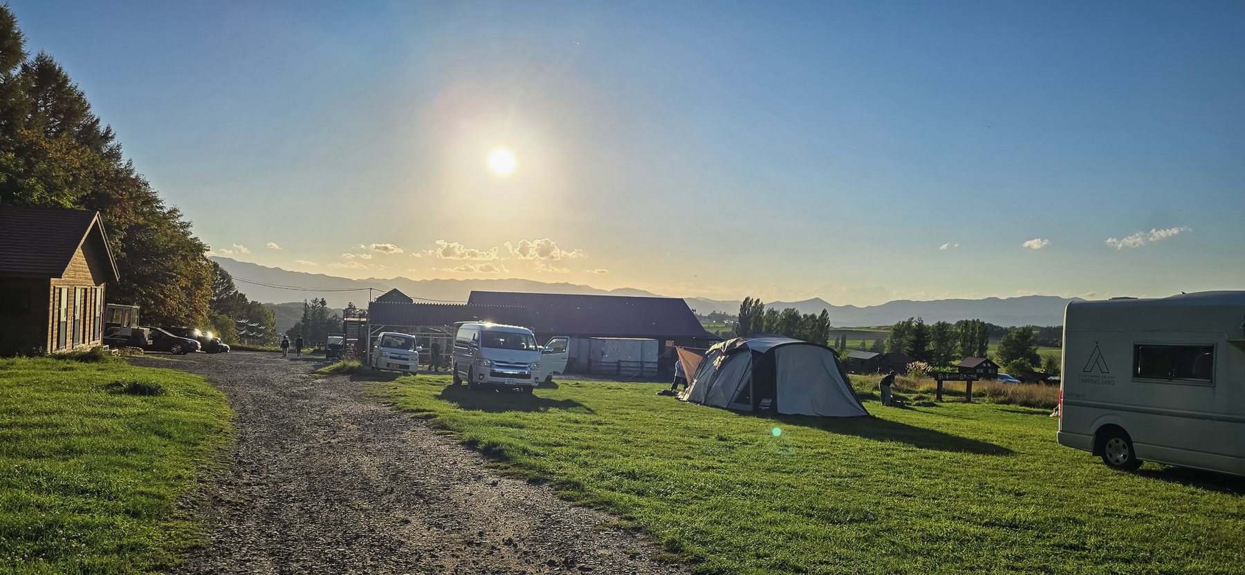
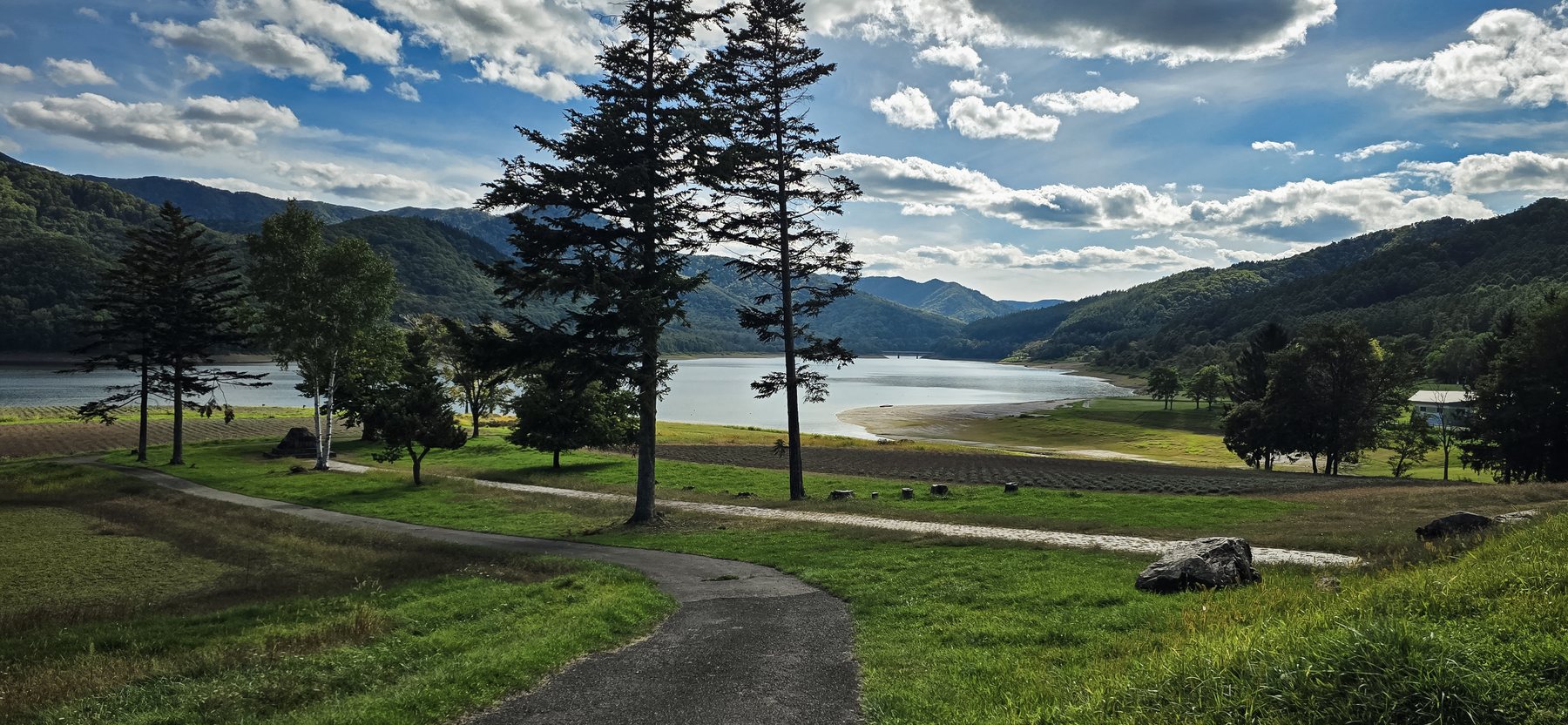
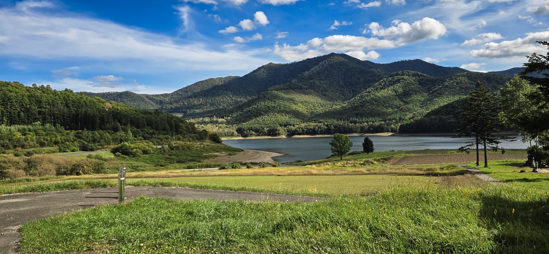
Round green hills and black cattle above Wakkanai, an island mountain on the horizon at sunset, and a long road up the coast.
Wakkanai is Japan's northernmost city. Above it, the Soya Hills roll down to the sea, soft and round, shaped in the last ice age. Black cattle graze between them.
We drove up in mid-September 2026: from the hills of Furano, north along the Sea of Japan coast, to Wakkanai and the Soya Hills. Every photo on this page is our own.
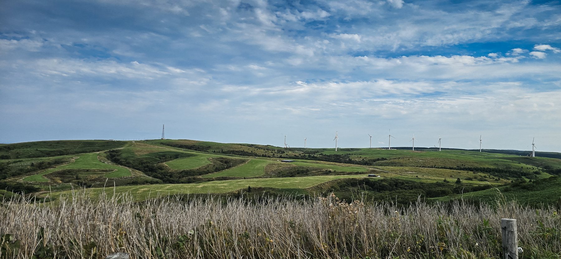
Soft, round hills shaped in the last ice age, with black cattle grazing and the sea behind them. Wind turbines line the ridges.
In the park above the city, deer rest in the shade of the trees. From the hill you look straight down onto the harbour.
At sunset, Rishiri Island's mountain rises out of the sea, seen from the coast on the way north.
The road follows the Sea of Japan coast up to Wakkanai. In Haboro, a statue of the Oronro bird, the common murre, stands beside it.
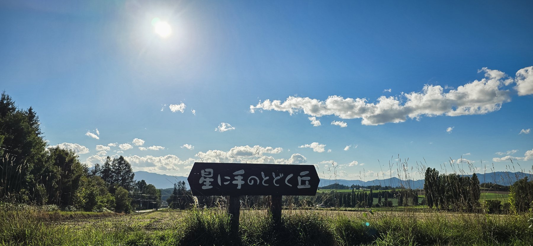
Its name, Hoshi ni Te no Todoku Oka, means the hill where you can reach the stars. Cabins and tent sites look over the farmland.
Further south, a quiet lake among the mountains, with pines along the shore.
Not yet. We launch in 2027 with day tours from Sapporo, and multi-day journeys will follow. Email us and we will tell you when they open.
We took six days for the north and the east together. The distances are long, so plan at least a few nights.
We drove. On a future journey, transport is arranged with licensed partners and public transport, and we plan the route and guide you along it.
Going further: World Heritage Shiretoko and eastern Hokkaido →
Tell us what you dream of — a season, a landscape, a pace. We'll design around it and reply within 48 hours.
hello@yukizuru-hokkaido.com